Yesterday I went out to inspect the trail from Anania hill down to Kyperisi then went on Ag Reginos, Pirgos. The Kyperisi track was extremely overgrown. At the entrance was a pile of logs where a family of gungy-eyed cats were living. There must have been 20 odd discarded, empty cat food tins lying around. We gave up before long due to lack of time. Next week.
Beforehand, we’d taken the forest route to the left of Chestnut Tree junction. This was only just passable, with fallen trees everywhere. At Ag Reginos, the track entrance had completely disappeared. Just couldn’t find it. Scrambling down the bank, I could just about find it further down but there were fallen trees everywhere. We gave up.
These track must have been open 15-20 years ago for me to have found them in the first place and they continued to be open when I revisited them over the years. But something has happened over the last 7 or so years for them to have fallen into such a state.
The Ag Reginos route is on the new council’s list of The Ten Routes to be cleared within 100 days of office. Let’s hope it happens.
Gilili
From the spring area, along the stream-bed and up the calderimi to the asphalt, the route has now been cleared. It took two of us only 5 hours. There were two small fences obstructing the scream-bed and two large ones across the calderimi . Three were taken down and the owner of the other has promised to take his down tomorrow. Time to celebrate!
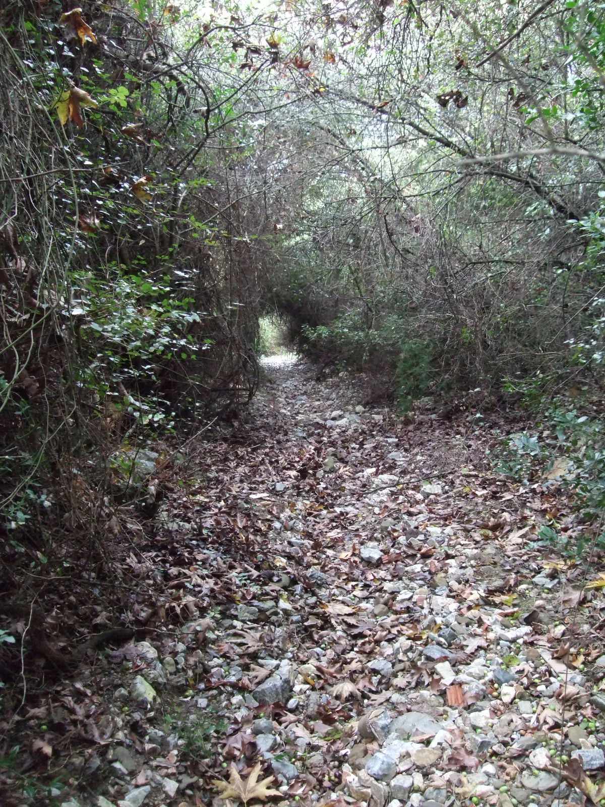
Mili Village to Ag Marina
This is how the trail from Mili Village up to the entrance road to the Rolex house looks. Hasn’t looked this good in years! It just needs the patter of feet to keep it clear.
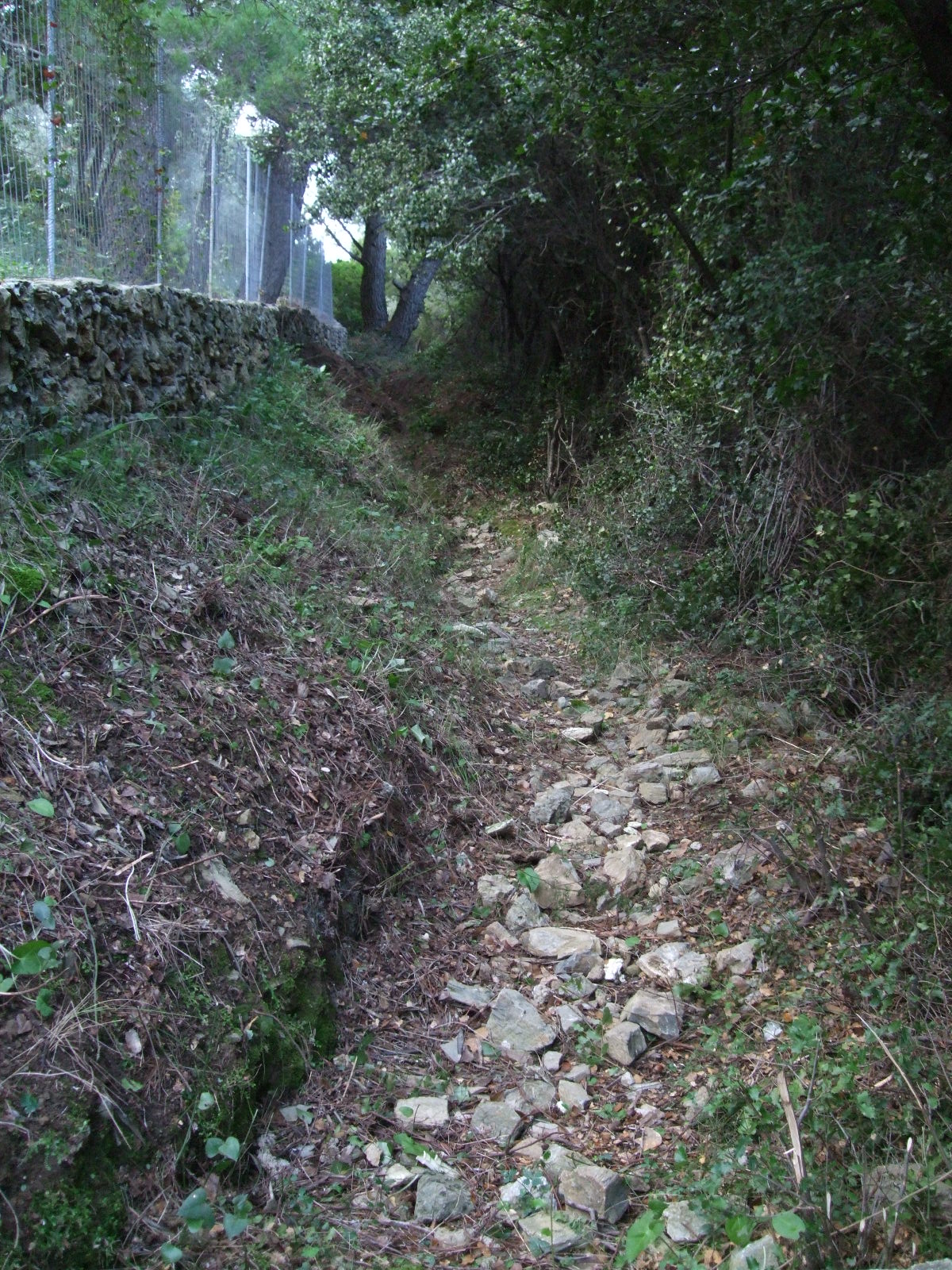
Path Clearance – image 54
I’m pleased to say that the route, which includes calderemi, from Xeropigathi, Kambos up to Polimistria church, Rachis, has been cleared and signed. There’s an interruption about 3/4 of the way up where a dirt lane has been buldozed across the path, exasperated by the fact that the local water company damaged the exit. There used to be a huge bolder on the road. This has been pushed over the side, together with piles of rocks and soil, right onto the exit. It’s a bit of a scramble but is now passable. One has to turn left, walk up the dirt lane a few meters and the path resumes up on the right. Enjoy!
HAPPINESS IS…. COLLECTING NECTOR
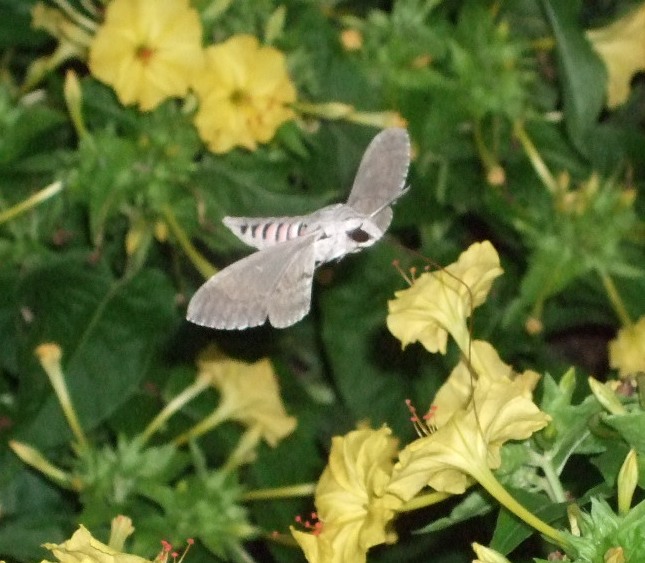
The Privet Hawkmoth enjoying an evening in my garden.
CHANGE IS IN THE AIR
 All the good intentions went out the window and I have only been path-clearing twice in recent months. I dare not hope that I get a place in the local council (elections will be held 7 November) when I would be able to get the paths cleared, marked and protected. This is the reason I am standing. It should be the responsibiity of the local council to maintain footpaths and trails, not a private individual.
The Bee-eaters
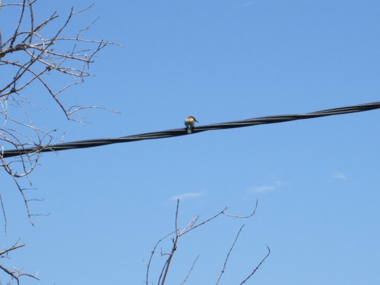
The Bee-eaters have arrived – June 23rd in Moutero.
STILL ALIVE!
What with one thing another, I haven’t arranged for any paths to be cleared this season – sorry folks. I thought I’d list the changes, on one page, that I know about and consolidate. So if you’ve recently purchased a copy of my book, you need to go through it and make the necessary amendments. I have only a few copies left from this print run so a re-write is looming for this winter. I just hope I can afford to get the book printed again; last time it cost over E2,000. If I can’t, there’ll be no more Skopelos Trails.
page 17 – sketch map. Don’t try and use the track from pic.3 to Lalaria spring. It’s only passable from pic. 3 up to the road. If you want to explore to the spring, you can get to it from the other end near pic.4.
Walk 3 Agnondas page 24. Don’t take the track behind all the rubbish trucks etc. Continue on the road until pic.14.
Walk 5 page 32. There is an illegal fence just down from pic.30. I’ve been trying to get this resolved with the local government but am running of power. A local land owner is playing God.
Walk 7 page 35. The triangular stone has gone and the track widened until where it used to be.
Walk 9. Lots of illegal fences as more and more apartments have been built on the Stafilos road side of Kokala hill. Pic.47. The path is now a road.
Walk 14 and 15. When you get as far as the junction before Mon. Barbara, don’t try and find the track up and over the hill. Continue on towards Mon. Prodromou and take the dirt road around the hill.
Walk 16 page 56. The area of Cypravrissi has totally been destroyed with a buldozer.
Walk 22 image 87. The track that leads down and traverses the hill is closed. I hope to get it open at some stage. I’ve made a start from the other end but lack help.
Walk 26image 87. As above.
Walk 27. This walk is closed.
Walk 29. The track from image 100 onwards has totally been destroyed by buldozer. Heartbreaking.
Djilili


Have just returned from inspecting the stream bed down near Djilili spring. The recent storm has made some amazing changes and created waterfalls and deep holes.
WALK 29 – RIP

Today we drove towards Glossa but on the way, encounted a group of walkers, who turned out to be with The Ramblers, totally lost. They had also mislaid their leader! After about an hour, and selling a copy of my book, group and leader were reunited with instructions on how to get to Stafilos.
Loaded up with cutting tools, Richard and I made our way along the track, pic.100, hoping to reopen the way to the lighthouse. We needn’t have bothered. A bulldozer has opened a two-way traffic width road where the path used to be. It has totally destroyed this walk. I couldn’t recognise anything. And where does this highway lead to? Nowhere. It stops abruptly in a field. I can’t tell you how I feel about this destruction.
However, we then drove back to Old Clima and did a bit more to the old path above the village, that links up with the road to Ag Iannis. A lot of work still to do there.